Customer success sets our standard.
 KITTI DRONEFLYING · HUA HIN & NEARBY 089-502-0041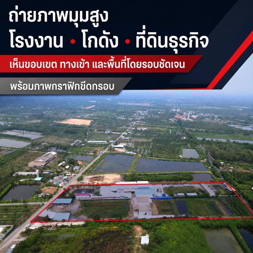
Drone photography · Hua Hin, Prachuap & PhetchaburiSee the land
See the land
from every angle
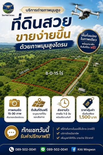
Clear drone photography with free boundary graphics—showing location, access roads and the surrounding area at a glance.
15–30raw photos
4free graphics
1–2 daysdelivery
15–30Raw photos
4Free boundary graphics
1–2 daysNormal delivery
LicensedSubject to local flight rules
00 / Company overview
Every property has value when it is clearly seen
Kitti Drone Flying provides aerial photos, video and land-boundary graphics for property owners, agents and investors. We manage location review, flight planning, production and online delivery.
“Customer success sets our standard.”
Clear, useful and timely work—delivered professionally, safely and in accordance with applicable flight rules.
“Customer success sets our standard.”
Clear, useful and timely work—delivered professionally, safely and in accordance with applicable flight rules.
01 / Packages
Choose the right package
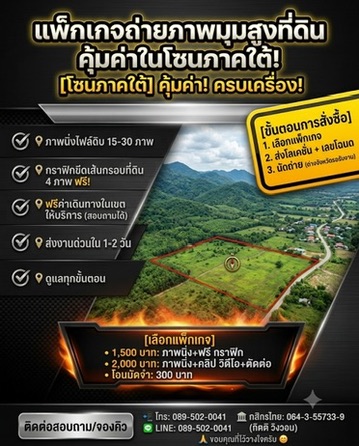
Clear pricing with no hidden fees. Send your location to confirm the service area before booking.
Still photographyPopular
1,500THB
Ideal for land listings, site inspection and location presentations.
- 15–30 raw aerial photos
- 4 land-boundary graphics
- Free travel within service areas
- Delivery within 1–2 days
Photos + videoComplete
2,000THB
A complete view of the property, ready for listings or direct client presentation.
- 15–30 raw aerial photos
- 4 land-boundary graphics
- Edited aerial video
- Free travel within service areas
* Free travel within service areas. Please send your location before booking.
MORE EXPOSURE FOR YOUR LISTINGWe can help share
We can help share
your land listing
We can share your land photos and details in our public Facebook property group with more than 5,000 members, helping your listing reach more interested buyers.
5,000+group membersList your land ↗Open the Facebook group for details
02 / Portfolio
One image. The whole location.
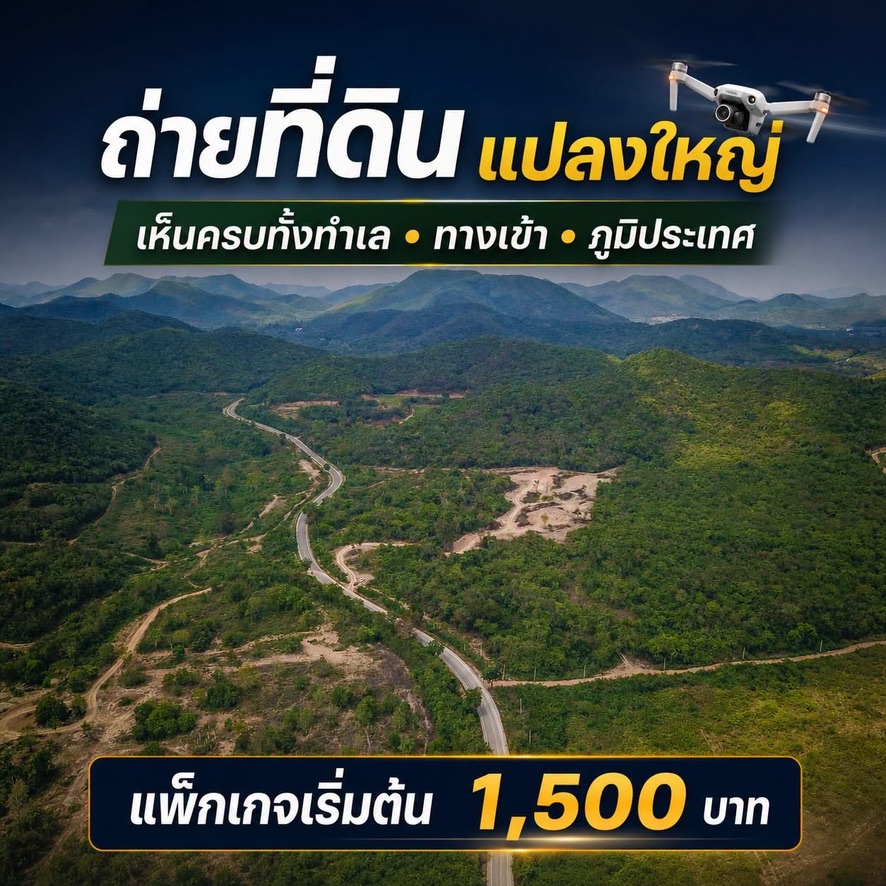
Drone views show roads, access points, terrain and the surrounding environment in a single frame.
LANDFACTORYWAREHOUSEBUSINESS
03 / GRAPHICS
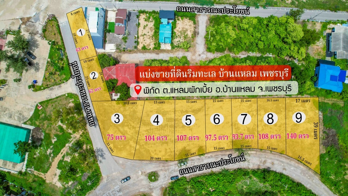
Clear boundaries. Instant understanding.
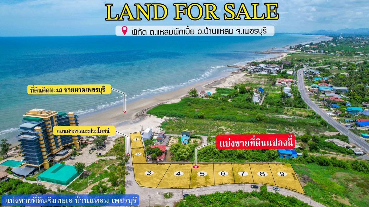
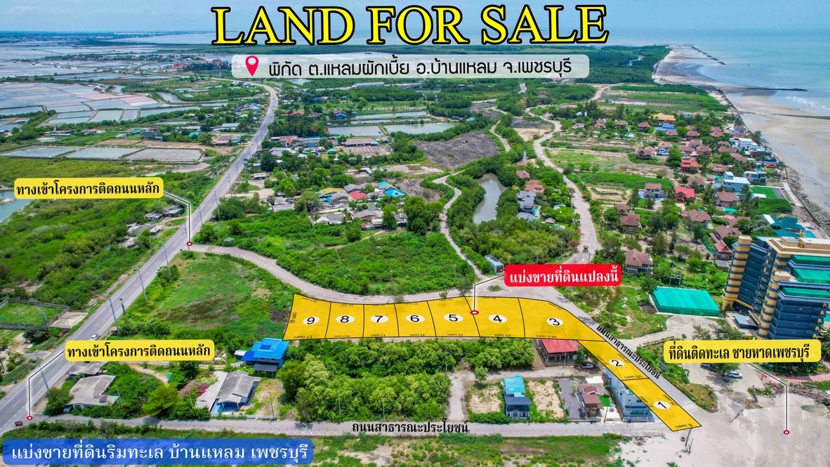
We turn aerial images into clear graphics showing plot position, access roads, public roads and land dimensions.
04 / Experience
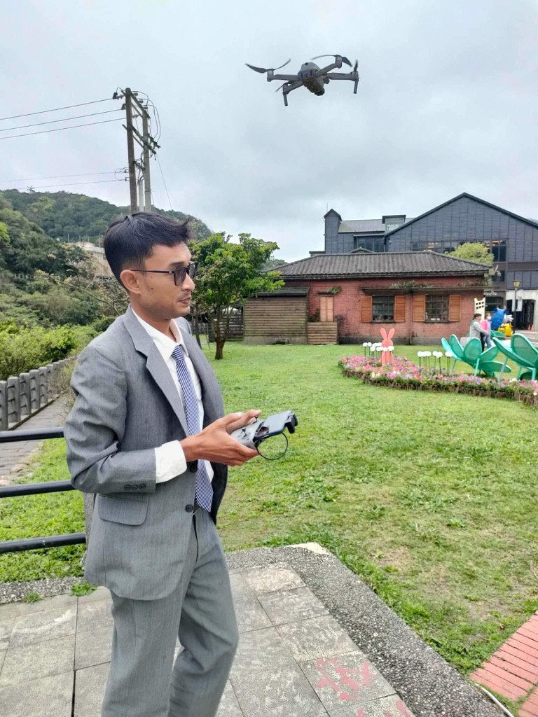
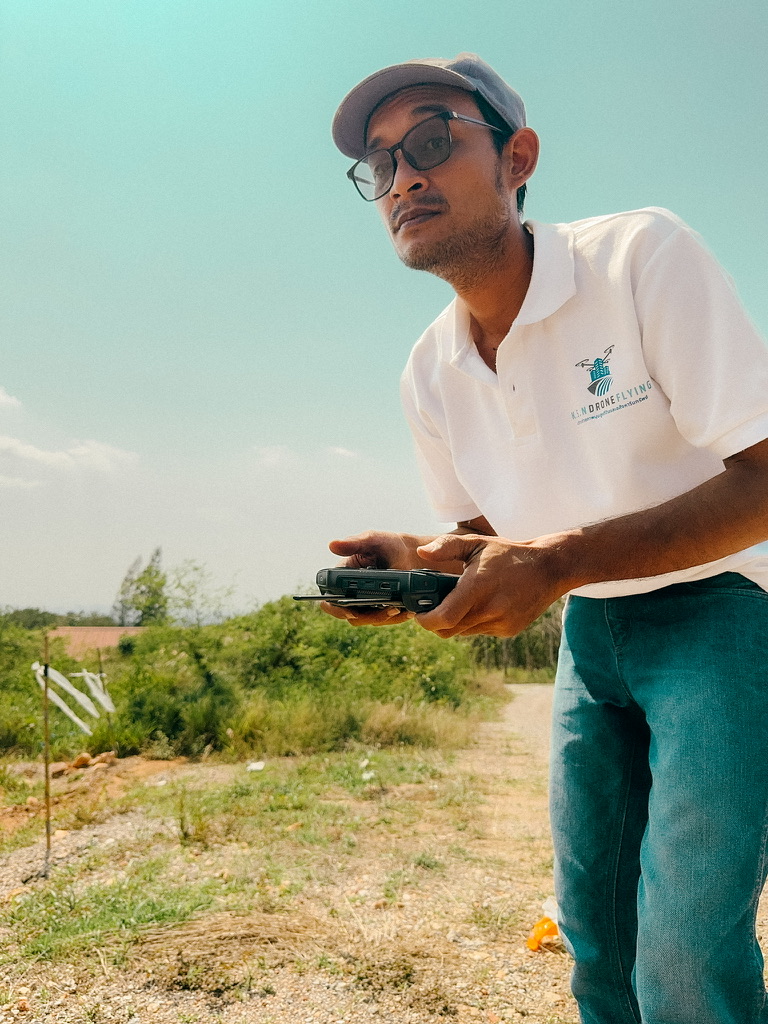
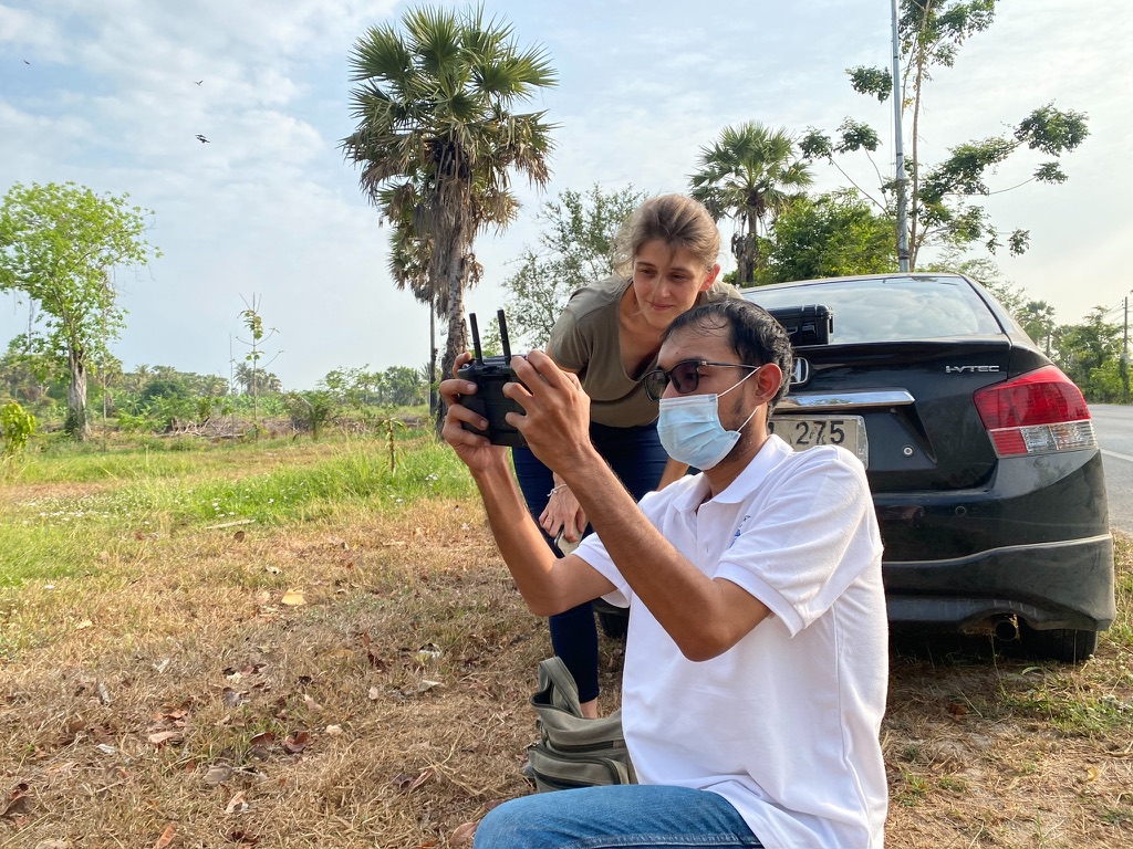
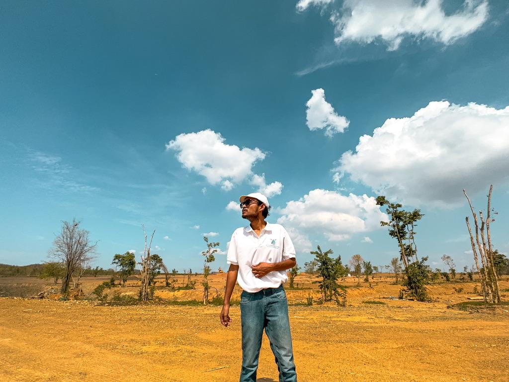
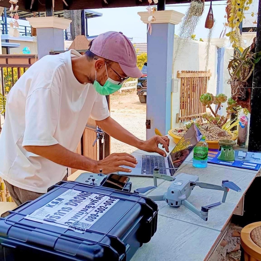
Field experience in Thailand and abroad
We inspect coordinates, surroundings and flight conditions before every job to deliver clear, useful images.
Pre-flight planningLocation, terrain and required angles
Professional fieldworkEquipment and image checks on site
Remote clients welcomeSend the location and receive files from home

05 / Process
Simple, fast and remote
Clients in other provinces or countries can send the details and receive the finished work online.
- 01Choose a package
Still photos or photos with edited video
- 02Send location and title deed
Share the pin and plot information
- 03Drone photography
Usually within 20 minutes or one battery cycle
- 04Review and receive files
Pay the balance after the work is delivered
Payment
Pay the balance after delivery
Kasikornbank064-3-55733-9
Account name: Kitti Wingwon
THB 300 travel deposit before the job. Remaining balance after delivery.
06 / FAQ
Frequently asked questions
How much does aerial land photography cost?
Still photos with four boundary graphics start at THB 1,500. Photos with an edited video cost THB 2,000.
How many photos will I receive?
You will receive 15–30 raw aerial photos and four land-boundary graphics within 1–2 days.
Can overseas clients use the service?
Yes. Send the location and title deed details, and receive the completed files online.
Where do you provide service?
Our main service area covers Hua Hin, Cha-am, Pranburi, Prachuap Khiri Khan and Phetchaburi. Send your location via LINE to confirm travel and flight restrictions.
KITTI DRONE FLYING
Land far away? Send us the location.
Ask about service areas and available dates every day.